Where We Meet
|
Contents:
1. Introduction 2. Setup and Participants 3. Submissions 4. Submit thoughts about your local river 5. Local Creatives 6. Online Submissions 7. Info about the Bow and Elbow Rivers |
Public spaces are best used to remind us of our interconnectedness with each other, and with our environment. Public spaces can help us remember the experiences we have in natural environments with our communities, which make us grateful to live in a city where rivers meet, where we have two of Canada's largest urban parks, and where the sky is always beautiful. Calgary exists where it is because of the Bow and Elbow rivers meeting and creating better opportunities for survival.
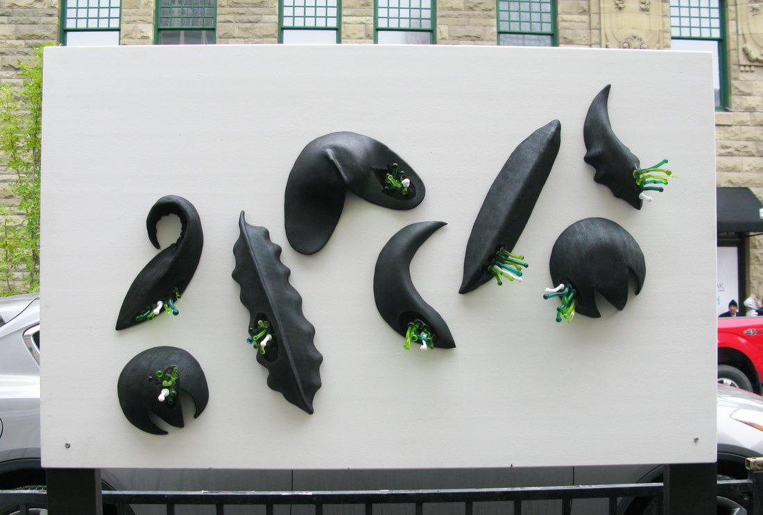
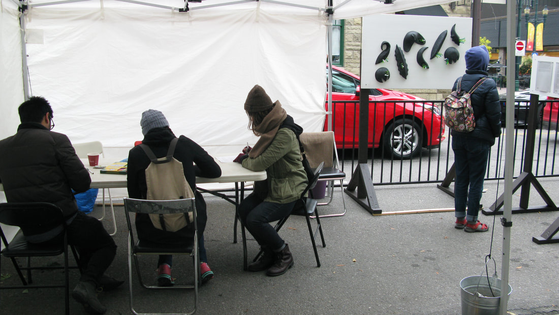
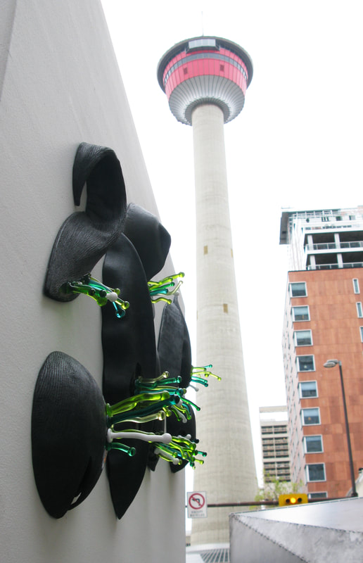
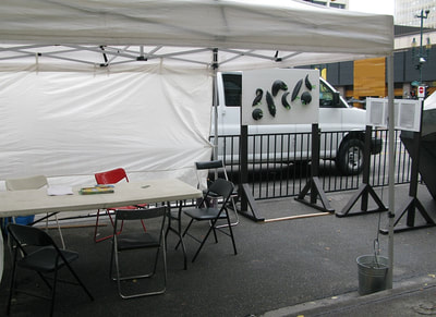
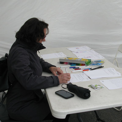
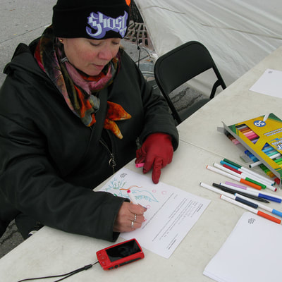
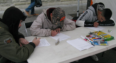
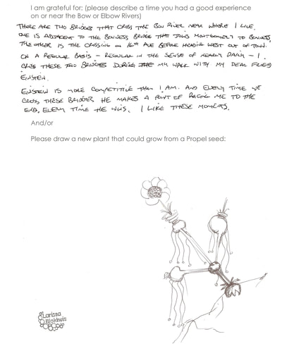
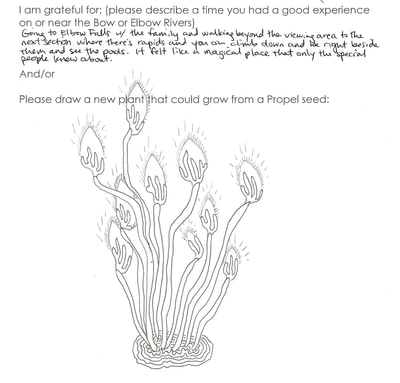
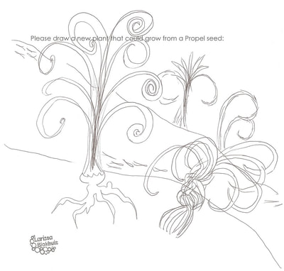
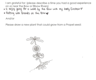
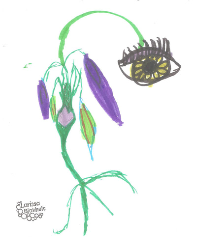
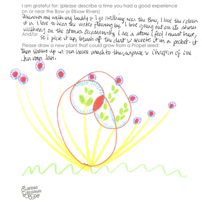
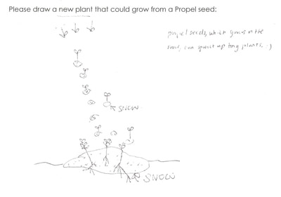
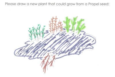
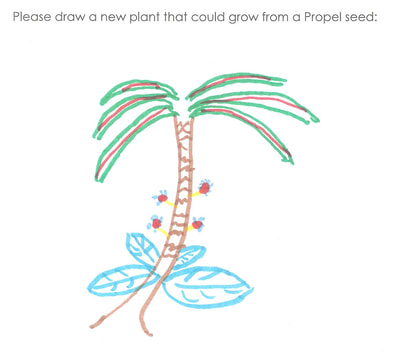
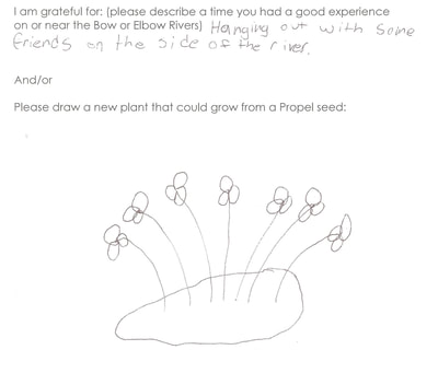
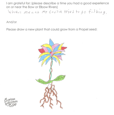
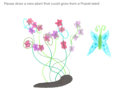
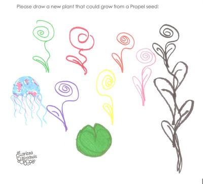
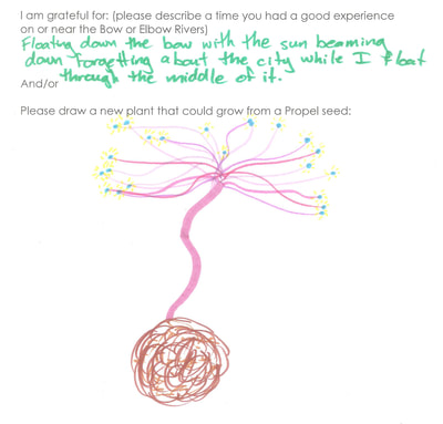
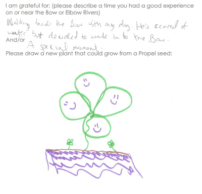
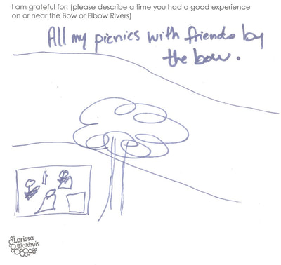
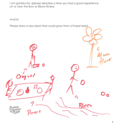
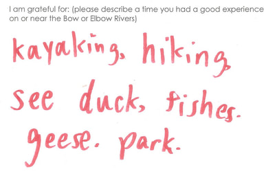
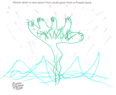
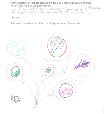
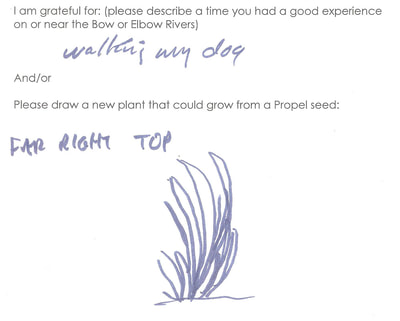
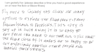
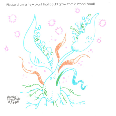
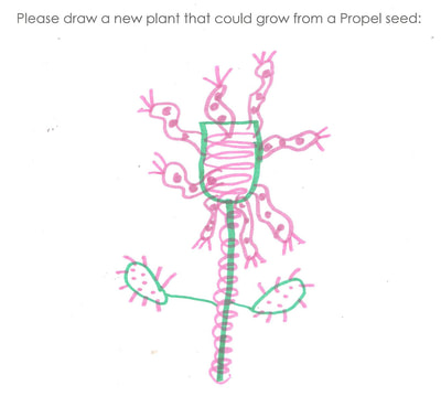
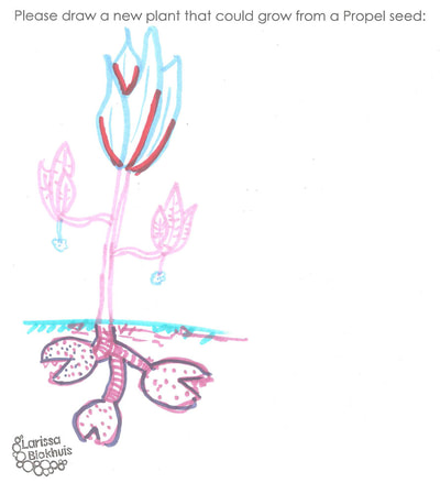
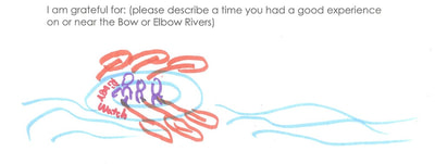
In 2018, I participated in PARK(ing) Day Calgary. I created a space using an existing artwork, Propel. My project included two options for interaction: 1. I asked viewers to imagine and draw the plants that might grow from a Propel seed. 2. I asked viewers to write down a gratitude about a time spent by/on the river. |
Setup and Participants
Submissions
Submit Online
|
Local Creatives
|
|
|
Some of my participants identified themselves as local artists and creatives! Check them out:
Heather Reinhardt Chika Ando Kipling West Logan Armstrong |
Online Submissions
|
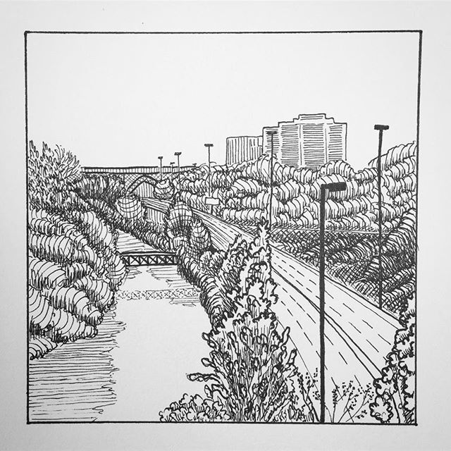
The Don River flows through Toronto, Ontario in a stunning valley. My gosh, it's breathtaking in the autumn. We have cleverly built a highway in the valley, along the river. The Don Valley Parkway (DVP) is 1 of only 2 north-south highways in Toronto; both are essential and both are despised. Traffic is awful. However, when one is stuck in traffic on the DVP there is a beautiful valley to admire, if one can remember it's there.
The Don River itself has been subjected to extraordinary pollution since the 1790s when the town of York (which eventually became Toronto) was founded in Upper Canada. First it was mills, then it was meat processing and petroleum storage, then manufacturing, then sewage and garbage. What didn't we dump into that river? We started to pay attention to it in the 1950s, but only in terms of flood risk. It wasn't until the 1980s and 1990s that restoration efforts began in earnest. And now, in 2018, we have fish! Enough to support a small recreational fishing industry! And we also have waterfowl, and wetlands, and people who go canoeing down the Don. The city of Toronto has ongoing plans for continued restoration and habitat protection. Alisa Singh |
Calgary Rivers
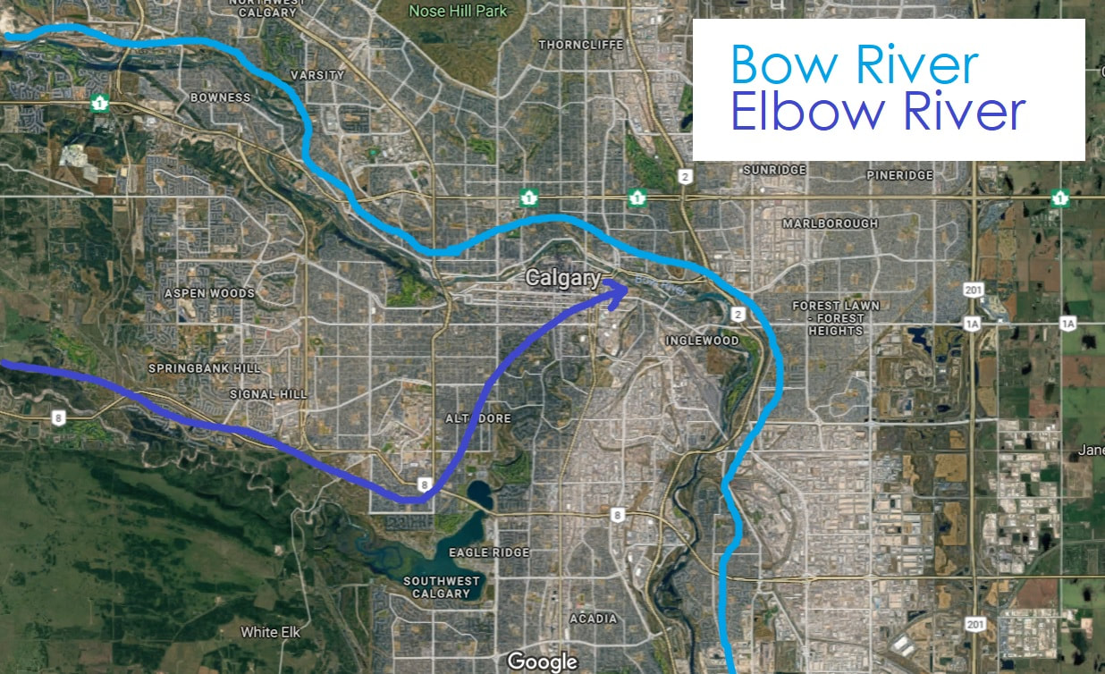
Recognising the value of converging rivers at the edge of the prairies, the Nakoda (Stoney), Tsuu T'ina, Cree, and tribes of Niitsitapi or Siksikaitsitapi (the Blackfoot Confederacy) made the Calgary area part of their traditional livelihood. The Blackfoot name for the area is Moh-kíns-tsis, (meaning elbow), Nokoda people use Wincheesh-pah (also meaning elbow), Cree people use Otos-kwunee (elbow again), and Tsuu T'ina use Kootsisáw (elbow). The Bow and Elbow Rivers have a long history of sustaining life in this dry region.
Between 1910 and 1960, the Bow River was radically changed as it was systematically engineered to control its water flow and provide hydroelectric power. Starting in the 1950s, the Calgary Local Council of Women advocated for the development of what would become the Bow River Pathway. Calgary City Council agreed to the idea in 1955, but it took over 10 years for the City to begin to produce results. Today, the Bow River pathway is developed on both banks of the river throughout the city of Calgary and is used for cycling, hiking, jogging, and other forms of urban and social exercise. The river is used for tubing and boating.
The Bow and Elbow Rivers both flow from the Rockies toward Saskatchewan, forming part of the South Saskatchewan River Basin. The Elbow has a total length of 120 km. The Bow River has a total length of 587 km, and a thriving population of brown trout and rainbow trout. Didymosphenia geminata, also known as didymo or rock snot, has behaved as invasive algae since about the 1980s, and is a signifier of environmental changes to the Alberta river system.
A 2009 report produced by WWF-Canada, found that the South Saskatchewan River was the most at risk Canadian river. Climate change, agricultural and urban infrastructure water use, and dams producing hydroelectricity, have all combined to reduce the flow of the South Saskatchewan River by 70 percent. In 2012, federal requirements for environmental oversight of Canada's lakes and rivers were reduced significantly, and protections have not been replaced.
RiverWatch is a non-profit organization and river monitoring program in which 10,000 students across Alberta participate annually. It is the hope that these young people will go on to become successful students, good stewards of our rivers, and ultimately contribute to a better quality of life for all. RiverWatch provides an award-winning environmental monitoring experience that combines physical challenge and adventure with hands-on, real-world science.
http://www.riverwatch.ab.ca
-Please note that RiverWatch is not associated with Larissa Blokhuis, and is provided here as a local resource to connect further with Calgary's rivers.
Non-Wikipedia sources:
https://www.cbc.ca/news/canada/calgary/calgary-names-elbow-1.3345967
https://www.cbc.ca/news/canada/calgary/alberta-researchers-study-rock-snot-1.811619
http://assets.wwf.ca/downloads/canadas_rivers_at_risk.pdf
Some of the information about Calgary's rivers is copy-pasted. Please click the above links to see the original text.

